
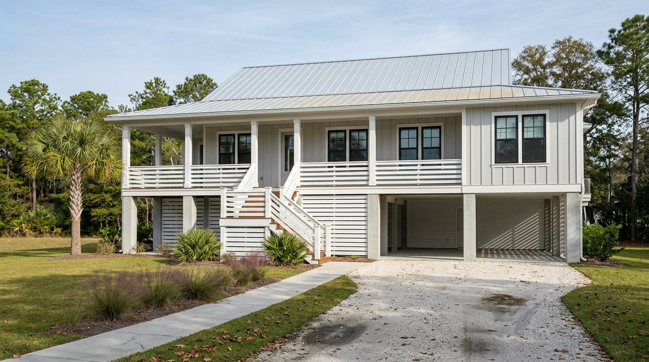
Understanding Market Common Evacuation Zone C
If you live in Market Common or nearby Surfside Beach, you have likely wondered which evacuation zone you are in and what that means when a storm targets the Grand Strand. You want a clear, reliable answer, not guesswork when time matters. In this guide, you will learn how to confirm your official zone, what the recent Market Common update means, how zones differ from FEMA flood maps, and what steps to take before hurricane season. Let’s dive in.
Evacuation zones help local officials move people out of harm’s way in an orderly way during coastal storms and hurricanes. Zones are based on storm surge and roadway capacity, not on insurance requirements. That is why they differ from FEMA flood zones and why officials use zones to phase evacuations by area.
When you know your zone and your route, you reduce stress and avoid last-minute decisions. You also understand when re-entry may happen after an evacuation. Think of your zone as a planning tool that helps you act quickly and safely when an order is issued.
Recent municipal mapping updates place the Market Common area within the City of Myrtle Beach’s Zone C. Because Market Common sits inside city limits, the city’s evacuation-zone designation controls any evacuation orders for that neighborhood.
You should still verify your address on the city’s official resource, since maps can be refined over time. Use the City of Myrtle Beach emergency management page to confirm the current zone and view the latest map. If you are near a boundary, cross-check with Horry County resources as described below.
Start by identifying who governs your property. Market Common is within the City of Myrtle Beach. Surfside Beach is a separate town within Horry County. If you are unsure about your boundary, use your parcel record or the city or county GIS viewer to confirm the jurisdiction before you look up your zone.
Check the evacuation-zone map or address lookup hosted by your governing authority. For Market Common addresses, visit the City of Myrtle Beach emergency management pages for evacuation zones and updates. For Surfside Beach and unincorporated areas, use Horry County Emergency Management’s evacuation resources. These tools show the zone letter for your property.
If your property is near a city or town line, compare the municipal map with Horry County’s resources. Jurisdiction determines which map applies, so confirm which authority governs your parcel. If anything is unclear, call or email the city or county emergency management office for a definitive determination.
Enroll in both county and city alerts so you receive zone-specific instructions by phone, text, or email. Use Horry County Emergency Management for countywide alerts and information. For Market Common addresses, also subscribe to City of Myrtle Beach notifications posted on the emergency management page. Getting both perspectives helps you act fast when orders are issued.
Write down your zone letter and your preferred evacuation route, and keep a printed copy of the official map. Share your plan with household members and a trusted out-of-area contact. Printed copies can be vital if power or internet access is disrupted during a storm.
Evacuation zones guide safety and movement during a storm. FEMA flood zones are used for insurance, lending, and building code decisions. They are not the same thing and they serve different purposes.
To review your property’s flood designation and insurance considerations, use the FEMA Flood Map Service Center’s property lookup. Understanding both your evacuation zone and your FEMA flood zone gives you a fuller picture of risk and helps with insurance planning and preparation.
Evacuation guidance will identify recommended primary routes and provide updates as conditions change. Choose a primary route and one or two alternates in case of congestion or flooding. Follow official traffic instructions and give yourself extra time to travel.
Shelter locations and pet policies are set by local agencies. If you may need a shelter or assistance, review county resources early and ask about medical or mobility needs in advance. Re-entry after an evacuation is also phased and may be restricted by zone and authority. Watch for official updates from the city or county before returning.
Use this simple checklist to get ready before hurricane season:
Use these official resources to verify your zone and stay informed:
Helpful links:
Staying current matters. Evacuation-zone boundaries can be updated as mapping improves, so verify your zone at least once a year and any time a new municipal announcement is released.
When you are considering a home purchase in Market Common, Surfside Beach, or anywhere along the Grand Strand, it helps to understand evacuation zones and flood designations early in your search. If you want local insight while you weigh neighborhoods, routes, and preparedness, we are here to help.
Ready to talk through neighborhoods, safety planning, and home options that fit your goals? Reach out to Unknown Company to start a conversation and get local guidance tailored to you.


When you hire Jan and Dan, you get a team of professional real estate agent diligently working together on your behalf. They are knowledgeable and experienced professionals you can trust to best represent your interests in our unique market.

JAN AND DAN SITTER | COASTAL BEACH HOMES
ADDRESS
9628 N KINGS HWY
MYRTLE BEACH SC 29572